Contents
- Trails Close to the Village
- Lovers Loop Trail
- Snyder Trail
- Nojoqui Falls Park
- Coastal Escapes at Gaviota State Park
- Gaviota Wind Caves Trail
- Gaviota Peak Trail
- Gaviota Hot Springs
- Backcountry Climbs and Wildflower Peaks
- Grass Mountain Trail
- Tequepis Trail
- Cold Spring Trail
- Red Rock Trail
- Hiking Near Santa Ynez in Fall and Winter
- A Few Notes Before You Lace Up
- Where to Return After the Trail
- Ready to Trade the Trailhead for the Aperitif
- Frequently Asked Questions
There is a particular pleasure in stepping off the estate at first light, coffee in hand, and heading straight for a trailhead. In the Santa Ynez Valley, the walk to the wild is short. Oak-studded ranchlands, coastal peaks, quiet creeks and one very photogenic waterfall are all within a comfortable morning’s drive of the village.
The hikes near Santa Ynez range from short waterfall walks with children to lung-testing climbs above the marine layer. What follows is a curated field guide for guests of the Polo House Hotel who want to spend a morning in nature and still be back in time for the evening Aperitif.
Wear proper shoes, pack more water than you think you need, and check trail conditions with the Los Padres National Forest before you set out. The rest, we can help arrange.
Trails Close to the Village
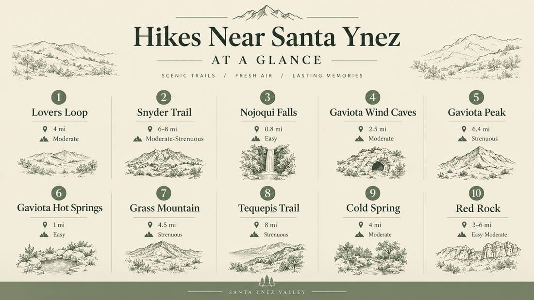
These three hikes sit within about half an hour of the estate, ideal for an easy morning before wine tasting or a golden-hour walk.
Lovers Loop Trail
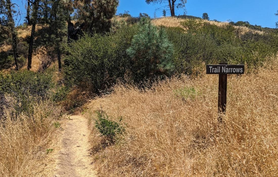
Lovers Loop starts from the same trailhead as Grass Mountain, off Figueroa Mountain Road near Midland School. The loop circles through grassy, oak-covered hills with views over the lower valley toward Grass Mountain, Zaca Peak and Figueroa Mountain. Signage is minimal, so download the route in advance and take your time at the junctions.
- Rating: 4.6 stars (28 Google reviews)
- Distance: about 4 miles, moderate
- Address: 5100 Figueroa Mountain Rd, Santa Ynez, CA 93460
- Best for: a morning walk before breakfast or a picnic outing
- Guest note: “Plenty of wildflowers, lovely scenery,” per a recent Google review
- View on Google Maps
Snyder Trail
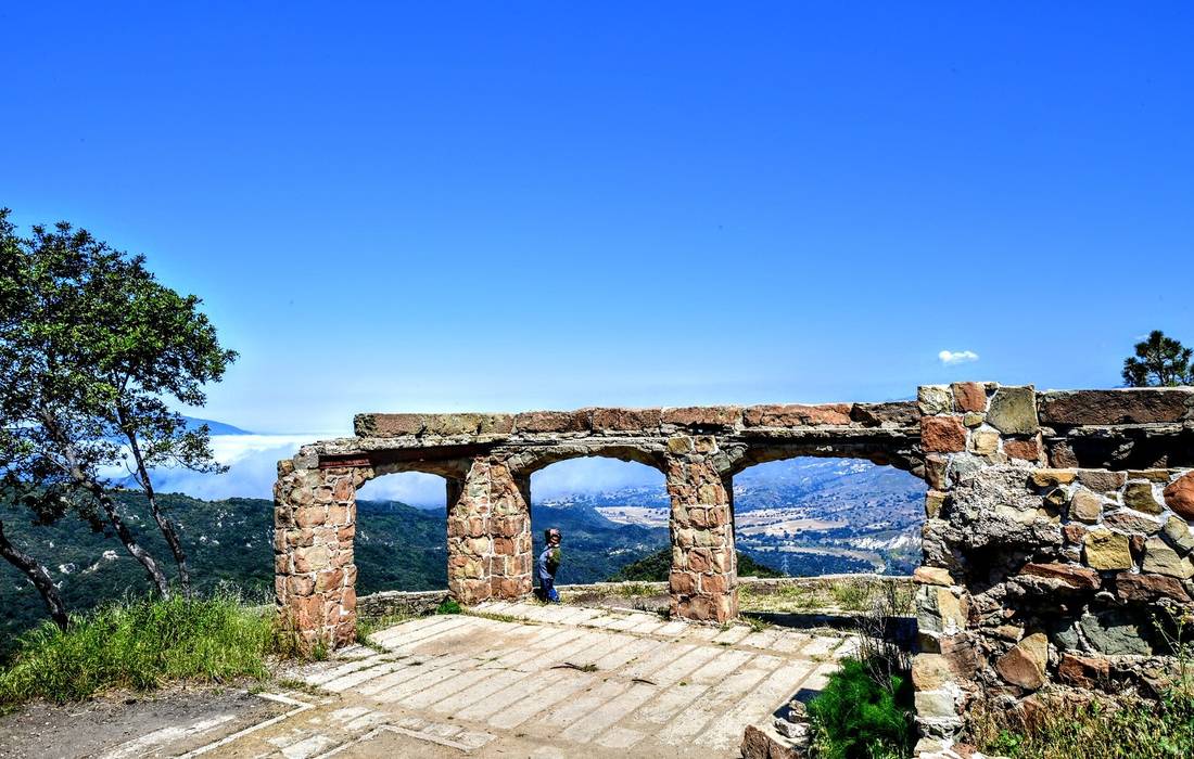
The Snyder Trail climbs steadily through Los Padres National Forest, following a dirt fire road with a gradual grade and long views back toward the Santa Ynez Valley. Committed hikers push on to the sandstone ruins of Knapp’s Castle for one of the most memorable vistas in the county.
- Rating: 4.8 stars (12 Google reviews)
- Distance: 6 to 8 miles round trip to Knapp’s Castle, moderate to strenuous
- Address: Snyder Trail, Santa Barbara, CA 93105
- Best for: strong walkers, sunset photographers and history lovers
- Guest note: “Very well maintained, mostly dirt, plenty of space, elevation spread out well,” per a recent Google review
- View on Google Maps
Nojoqui Falls Park
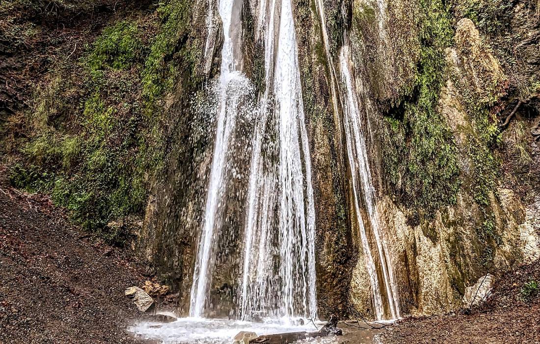
A short, mostly shaded walk just south of Solvang that ends at an 80-foot, moss-draped waterfall. Nojoqui is the most family-friendly hike in the valley, with a wide trail, benches and a picnic area beside the parking lot. The falls run strongest after winter rains, and even in late summer the canyon stays refreshingly cool.
- Rating: 4.6 stars (1,410 Google reviews)
- Distance: about 0.8 miles round trip, easy
- Address: 3250 Alisal Rd, Solvang, CA 93463
- Phone: (805) 568-2460
- Website: countyofsb.org/856/Nojoqui-Falls-Park
- Best for: families, young children and an easy morning outing
- Guest note: “A short detour off the 101. Moderate intensity but short. Almost entirely shaded. It follows the creek and passes back and forth over it,” per a recent Google review
- View on Google Maps
Coastal Escapes at Gaviota State Park
About twenty-five miles southwest of the estate, Gaviota State Park offers three very different trails within a mile of one another. Plan for open sun, packed dirt and remarkable ocean views.
Gaviota Wind Caves Trail
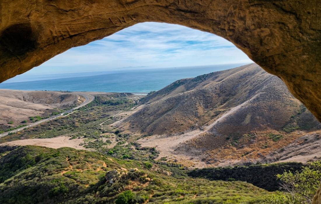
The Wind Caves Trail is the star of the park. A short, steep climb up a sun-exposed ridge ends at a set of honeycombed sandstone caves carved by centuries of coastal wind. On a clear day, you can see the Channel Islands from the top.
- Rating: 4.6 stars (76 Google reviews)
- Distance: about 2.5 miles round trip, moderate with a steep push at the end
- Address: 1595 US-101, Goleta, CA 93117
- Website: parks.ca.gov
- Best for: golden-hour photography, older children and hikers who love a payoff view
- Guest note: “The hike was not too long, but there are spots that are pretty steep. There is no shade. The views are amazing. There is one wind cave that is pretty cool you get to see about halfway up,” per a recent Google review
- View on Google Maps
Gaviota Peak Trail
For guests who want a proper workout, Gaviota Peak rises 2,458 feet above the Pacific, with the ocean, ranchland and the Channel Islands laid out like a map from the top. The most direct route follows the Gaviota Peak fire road from the hot springs trailhead, and the Trespass Trail offers a loop for a longer day.
- Rating: 4.4 stars (171 Google reviews)
- Distance: about 6 to 7 miles round trip, strenuous
- Address: Gaviota Park Boundary, Goleta, CA 93117
- Parking: day-use fee at the lot
- Best for: experienced hikers, early starts and big-view seekers
- Guest note: “Beautiful hike with great views of the ocean,” per a recent Google review
- View on Google Maps
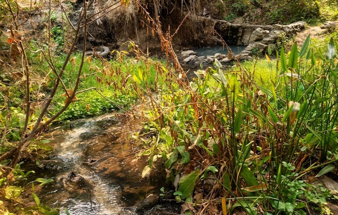
Gaviota Hot Springs
Not a summit hike, but a lovely short walk to a set of natural warm-water pools tucked into the coastal hills. The water is lukewarm rather than hot, but the setting is quiet, and the soak is well earned after Gaviota Peak.
- Rating: 3.6 stars (48 Google reviews)
- Distance: about 1 mile round trip, easy
- Address: Santa Barbara, CA 93117 (trailhead shares the Gaviota Peak lot)
- Best for: recovery days, adding to a bigger hike and quiet contemplation
- Guest note: “Along the way you pass a beautiful waterfall before reaching the hot springs. Getting into the water was pure magic,” per a recent Google review
- View on Google Maps
Backcountry Climbs and Wildflower Peaks
For hikers who want the biggest reward per step, these four trails lead deeper into the mountains. Grass Mountain and Tequepis sit on the valley side, while Cold Spring and Red Rock are on the Santa Barbara side, about 45 minutes from the estate. Bring layers, plenty of water and a proper trail map.
Grass Mountain Trail
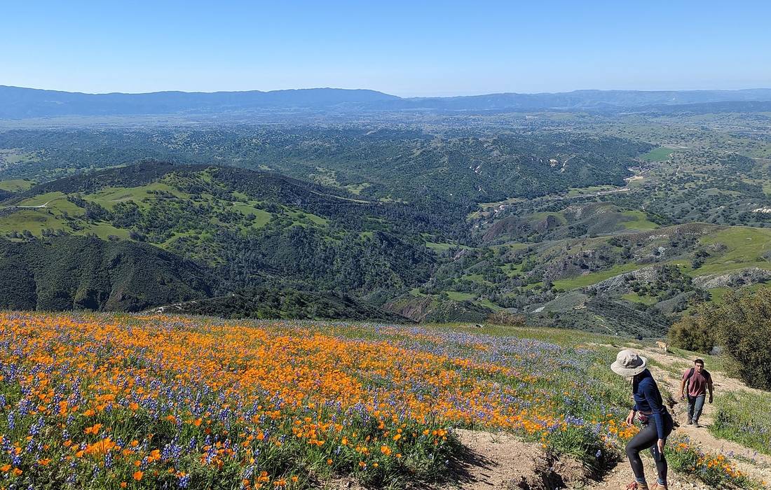
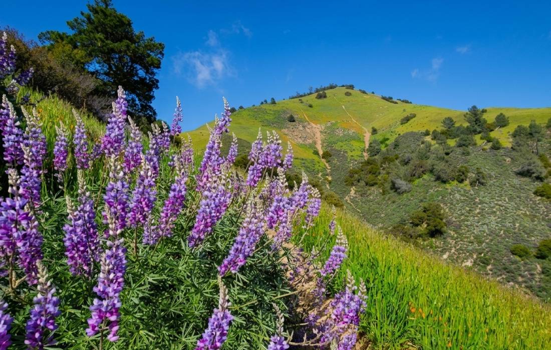
Grass Mountain is the Santa Ynez Valley’s showcase spring hike. In a good rain year, the hillside erupts into carpets of California poppy and lupine, turning the mountain into a mosaic of orange and purple. It is a steep, exposed climb, so plan for a cool morning.
- Rating: 4.8 stars (62 Google reviews)
- Distance: about 4.5 miles round trip, strenuous
- Address: 5100 Figueroa Mountain Rd, Santa Ynez, CA 93460
- Best for: February through April, sunrise starts and wildflower photography
- Guest note: “Probably the most popular hike in the Santa Ynez Valley during the Spring. An entire mountain more orange and purple than it is green,” per a recent Google review
- View on Google Maps
Tequepis Trail
The Tequepis Trail is a shaded switchback route through the Santa Ynez Mountains that climbs to the ridge above Lake Cachuma and connects onward to Santa Ynez Peak. The forested lower half offers rare shade for this side of the county, and the ridge delivers views of both the lake and the ocean.
- Rating: 4.3 stars (39 Google reviews)
- Distance: about 8.4 miles round trip to the ridge, strenuous
- Address: Forest Rte 6N04, Santa Barbara, CA 93105
- Best for: cooler months, hikers who prefer shade and anyone who wants lake and ocean views from one ridge
- Guest note: “4 mile mostly-shaded narrow single-track creek-side and switchback trail with lake views that connects to the Santa Ynez Peak trail with ocean views,” per a recent Google review
- View on Google Maps
Cold Spring Trail
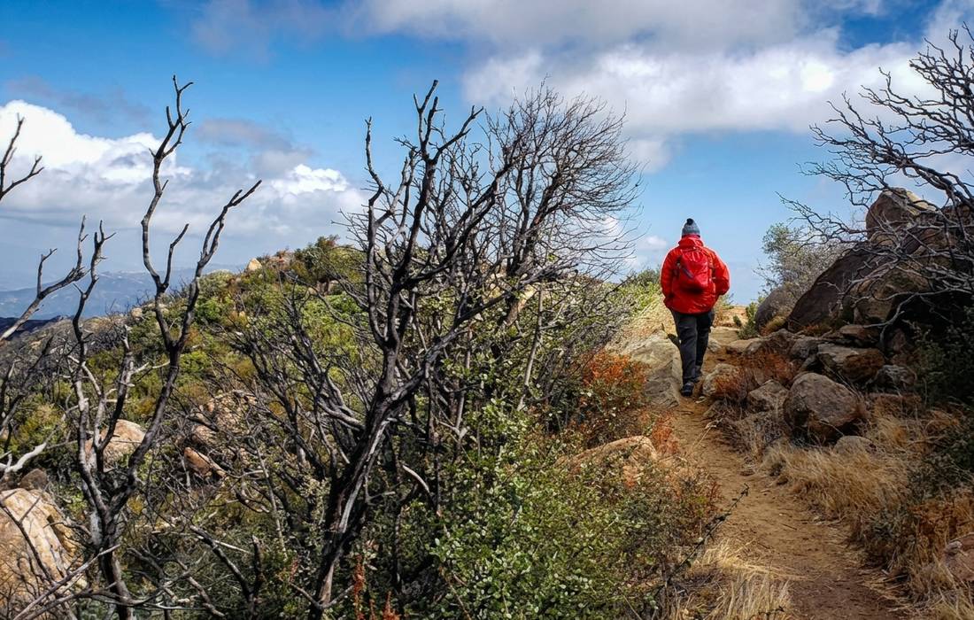
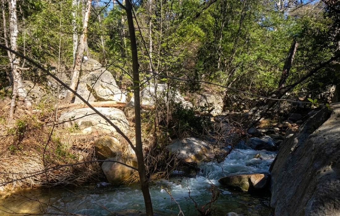
The Cold Spring Trail cuts through the front country above Santa Barbara, following a shaded creek before opening onto ridgeline views. The lower two miles are the most popular, with small waterfalls and pools after the rains. Fit hikers push on for a loop with big elevation gain.
- Rating: 4.7 stars (based on Google reviews)
- Distance: 2 to 4 miles for most day hikers, moderate; longer loops available
- Address: Mountain Drive at Cold Spring Creek, Santa Barbara, CA
- Best for: waterfall chasing after the rains, quiet creek walks and an all-day loop for strong hikers
- Guest note: “Total hike came to 4.2 miles with 1500 feet elevation gain. Trail is pretty steep in some places, but also wide and well maintained,” per a recent Google review
- View on Google Maps
Red Rock Trail
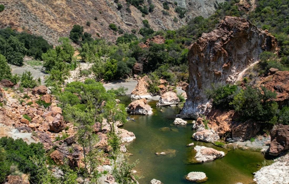
Red Rock is a river-and-swimming-hole classic. The trail follows the upper Santa Ynez River past deep, clear pools, red-tinted rock and shady oak groves. It is one of the best hot-weather hikes in the county, because you can end (or interrupt) it with a swim.
- Rating: 4.6 stars (162 Google reviews)
- Distance: 3 to 6 miles round trip depending on how far you go, easy to moderate
- Address: Gibraltar Trail, Forest Rte 5N18, Santa Barbara, CA 93110
- Website: fs.usda.gov Red Rock Trailhead
- Best for: summer swim breaks, families with older kids and hikers who love water
- Guest note: “It’s kept clean. All the park rangers are friendly and helpful,” per a recent Google review
- View on Google Maps
Hiking Near Santa Ynez in Fall and Winter
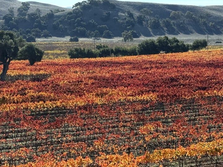
Fall and winter are quietly some of the best months to hike in the Santa Ynez Valley. The summer heat breaks, mornings turn cool and clear, and the exposed coastal trails at Gaviota become comfortable at any hour. After the first winter rains, the hills begin to turn green again, and Nojoqui Falls starts to run.
This is the season for the Gaviota Wind Caves and Gaviota Peak on a clear day, when the Channel Islands look close enough to touch, and for the shaded switchbacks of the Tequepis Trail. A lukewarm soak at Gaviota Hot Springs feels especially good on a cool afternoon. Days are shorter, so start early and plan to be off the trail before dark, and skip creek and river crossings after heavy rain.
December adds one more reason to visit. Spend the morning on the trail and the evening in Solvang, where the village glows for Julefest. Our guide to Solvang Julefest covers the events, and our holiday stays at Polo House make it easy to plan the trip. For more seasonal ideas, see our list of things to do in Santa Ynez this fall.
A Few Notes Before You Lace Up
A little planning turns a good hike into a great one. A few things worth knowing before you head out on any of the hikes near Santa Ynez:
- Start early. The exposed trails (Wind Caves, Gaviota Peak, Grass Mountain) are far more pleasant before 10 AM in warmer months. Sunrise starts also mean better light and, often, an empty parking lot.
- Carry the right water. Two liters per person is a good minimum for anything over three miles. For summit climbs in summer, bring three.
- Check for a day-use fee. Gaviota State Park and several Los Padres trailheads (including Red Rock) require an Adventure Pass or a small parking fee. Pay ahead of time when possible.
- Watch for rattlesnakes. They are part of this landscape from roughly April through October. Stay on the trail, look before you step over rocks and give any snake plenty of space.
- Mind the fire and rain conditions. Trails can close after storms or during red-flag warnings. Confirm status with the Los Padres National Forest alerts page before you drive out.
- Cell service is limited. Download offline maps before you go, and let someone at the front desk know your plan and expected return.
Where to Return After the Trail
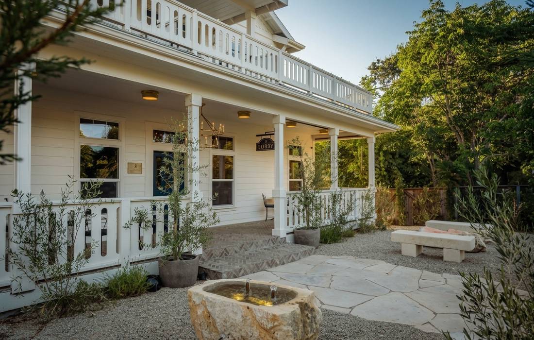
There is something restorative about coming back from a long hike to a place that anticipates what you need next. At the Polo House, that means a hot shower, a glass of Central Coast wine at the evening Aperitif and a homemade breakfast the next morning to fuel the next trailhead.
Guests choose between two experiences on the estate:
- The main-house rooms and suites, quiet and refined, within walking distance of the restaurants and cafés of Santa Ynez.
- The private bungalows, self-contained cottages with their own entrances, ideal for guests who want a little more space and privacy after a day on the trail.
Every stay includes the daily breakfast, made with fresh, local and seasonal ingredients, and the hosted Polo House Aperitif with local wines and charcuterie. Our concierge can build your hike into a full day, with wine tastings and dinner reservations for afterward. Explore more on our activities page or contact us to plan your visit.
Ready to Trade the Trailhead for the Aperitif
The best hikes near Santa Ynez have a particular gift: they are close enough that you can be back on the estate in time for a long shower, a nap and a sunset glass of local wine. Lace up in the morning, wander, and let the evening begin at the Polo House.
Learn more about the estate on our about us page, or reserve your stay and let us plan the rest.
Frequently Asked Questions
What is the best time of year for hiking near Santa Ynez?
Spring, from February through May, is the sweet spot, with green hills, wildflowers on Grass Mountain and waterfalls running at Nojoqui and Cold Spring. Fall and winter are a close second, with cool mornings, clear coastal views and fewer people on the trails. In summer, start at sunrise.
Are there easy hikes near Santa Ynez for families or beginners?
Yes. Nojoqui Falls is the classic family walk: short, shaded and ending at an 80-foot waterfall. Gaviota Hot Springs is another easy option at about a mile round trip, and the lower part of Red Rock is perfect for a river-and-picnic afternoon with older kids.
What are the best hikes near Solvang?
Nojoqui Falls Park is the closest, just south of Solvang on Alisal Road, with a short trail to an 80-foot waterfall. Lovers Loop and Grass Mountain start off Figueroa Mountain Road near Los Olivos, and the Gaviota Wind Caves are about a half-hour drive toward the coast.
Do I need a permit or fee to hike?
Some trailheads in Los Padres National Forest, including Red Rock, require an Adventure Pass or day-use fee, and Gaviota State Park charges for parking at the day-use lot. Most valley-side trails, such as Lovers Loop and Grass Mountain, are free.
Which hike has the best view?
Gaviota Peak on a clear day is hard to beat, with the ocean, ranchland and the Channel Islands below the summit. For a shorter payoff, the Wind Caves ridge and the stone ruins of Knapp’s Castle, via the Snyder Trail, are both remarkable.
Where can I find hikes with waterfalls near Santa Ynez?
Nojoqui Falls Park is the most reliable, with an 80-foot cascade at the end of a short, shaded trail that runs best after winter rains. Cold Spring Trail has small seasonal waterfalls, and the route to Gaviota Hot Springs passes a small waterfall on the way to the pools.
Can the concierge help me plan a hike?
Yes. The Polo House team is happy to suggest routes based on your pace and interests, and to build the hike into a full day with wine tastings and dinner reservations for the afternoon. Ask at check-in, or write ahead through the contact form.